
Drone Data and Decision Making for Macadamia Farmers

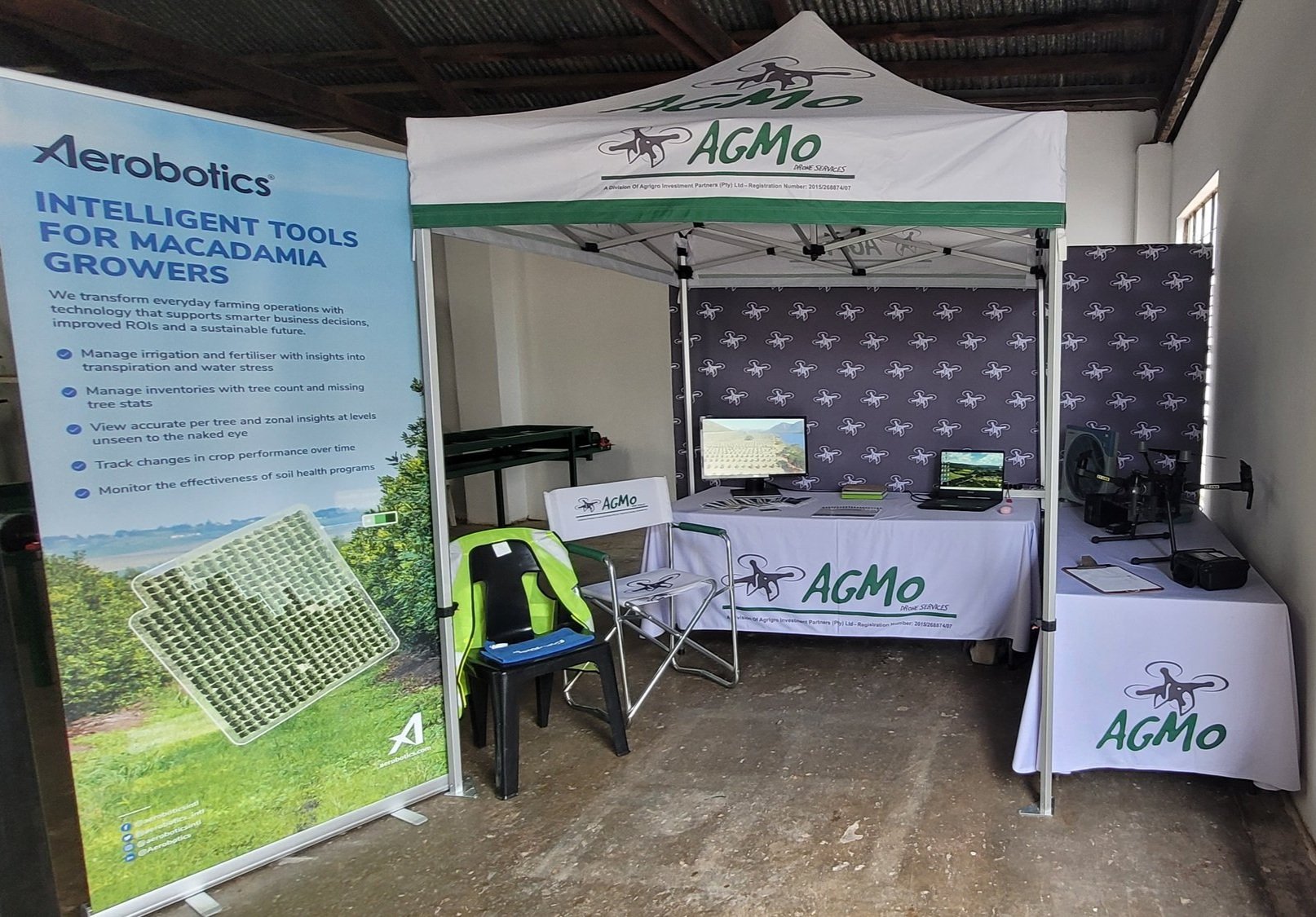
As far as the agricultural industry’s timeline goes… agmo is by all means a new endeavor, but with some years of experience already under the belt. Founded and established in January 2019 in Mbombela (the heart of the Lowveld) we are well positioned to service a bustling and ever-important local agricultural industry.
Although drone technology may be the ‘new kid on the block’ to some farmers, we pride ourselves in having been one of the first drone survey companies in South Africa to establish themselves firmly within the agricultural industry; successfully surveying tens of thousands of orchard and field crop hectares in a handful of years.
Serving several leading fruit and nut producers and marketers has propelled us forward into the omnipresent 4IR leveraging the internet of things (IoT) and cloud based technologies to add more value to producers than any ever thought possible.
Today, agmo also represents and works with industry leading data analysis companies, who operate both locally and abroad, forming a part of an extremely important drone pilot network that services the industry as part of a bouquet of technology-forward solutions on offer to the modern farming operations of today - as well as the farms of the future.
agmo currently operates in the Mpumalanga and Limpopo provinces, and we aim to go where our ‘propellers’ take us!
Monique Heydenrych is at the controls as Founder, CEO, and industry certified operating pilot.
“agmo is a professional business with competent, determined and committed staff. We believe we add unique value to our customers, forming long standing business relationships through mutual respect and unsurpassed customer service.”
Intelligent Tools for Agriculture
Tree Counts:
Get accurate tree census statistics, including “missing tree” info: see where you are losing out on crop potential and where systems are wasting fertilizers and amendments (including water resources) on open spaces.
Having all this data out in front of you, all at once, can get overwhelming and you might find yourself not knowing where to begin.
Don’t worry.
We have your back.

We've created simplified, customised and easily readable reports with guidance on the most crucial and immediate points of action - allowing farmers and production managers to seamlessly incorporate drone tech into their farming practices.
Health Zones:
Drone survey clients enjoy high integrity insights into under-performing trees due to pests, diseases, irrigations issues etc. One can take a detailed look into underperforming blocks, trees, all graded and organised per cultivar for insightful feedback across the complete farming operation.

NDRE multispectral metrics explained
Below: an example of how we’re looking at individual tree health, with under-performing orchards displayed in a graph form. In this case we are looking at 816’s. All data was exported seamlessly via the Aerobotics “Aeroview” platform post-drone survey quickly and easily.

Our point of interest or immediate focus would be block C1, as the health (NDRE) variance reading is quite high, meaning that there are a lot more underperforming trees in this one block compared to all the other blocks on the farm.
Plan of Action:
With ongoing seasonal flights (year-on-year comparisons) production teams get a good indication of any preventative or correctional measures that have had a positive outcome or otherwise in terms of tree health and associated yield.
This proactive approach to monitoring effectiveness helps to ensure farmers are working towards (and tracking) orchard progress for a focus on obtaining returns on investments made in-field.


Scouting:
Managing workflows and carrying out precision-guided targeted scouting investigations are made easily managed and assigned using mobile app technologies that run offline without mobile reception - often the case in remote farming areas - and once scouts are back in reception at farm officers, all scouting information synchronises to the cloud automatically for streamlined data processing and displaying on-platform.
Below: A farmer has setup a precision scouting route using histogram bar selections to selectively prune their 3-year-old trees to bring down their canopy variance score and increase orchard homogeneity as trees fill-out vegetatively ahead of coming into production. All scout routes synchronise from the cloud-based platform to the Aeroview InField mobile app for easy access by both managers and their scouting teams.
Addressing variance also helps to make sure that nutrition plans and outputs at emitters or micros are accurate for most of the block, as well as making sure larger (faster growing) trees are not overshadowing neighbouring trees.


[imagery supplied by Ken Treloar, Aerobotics]
Get in touch:
For more information on how to best leverage drone surveys, cloud-based platforms, and in-field mobile applications that turn data into actions and back again… get hold of agmo today to schedule a chat.
*This post is based on agmo’s presentation to attendees at the Amber Macs 2023 event.
Presentation slides at: www.ambercircle.co.za/wp-content/uploads/2023/02/AmberMacs-Presentation

agmo utilises best-in-class drone and sensor technologies for professional UAV agricultural surveys.